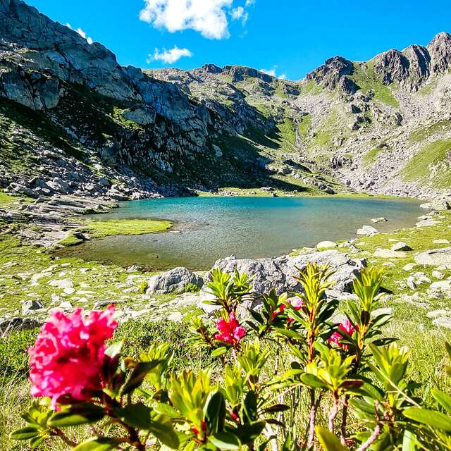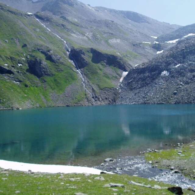
 Vallon de la petite Sassière
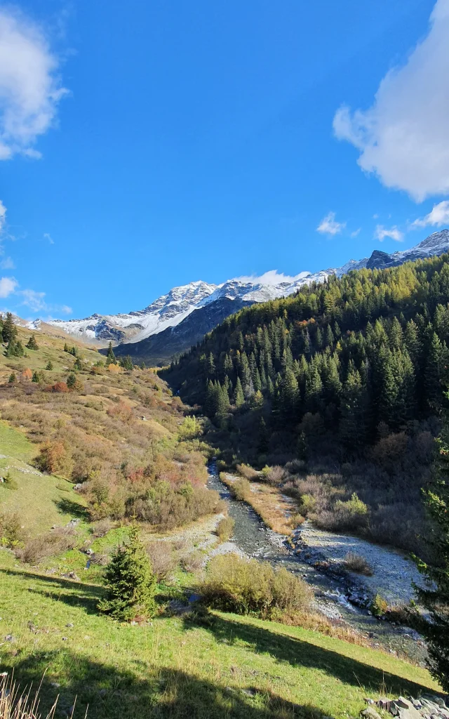 Vallon Mercuel
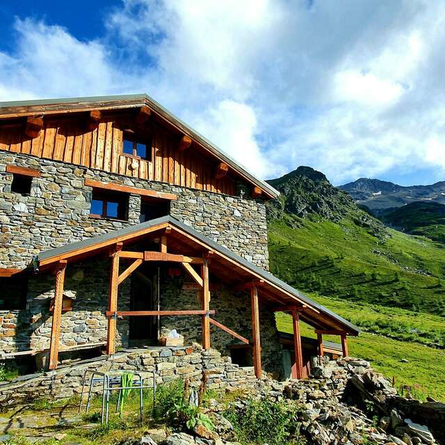
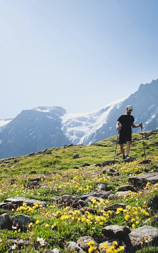 Panorama mines
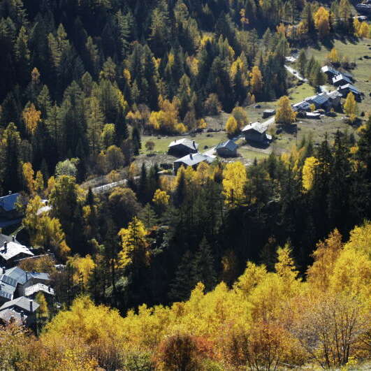
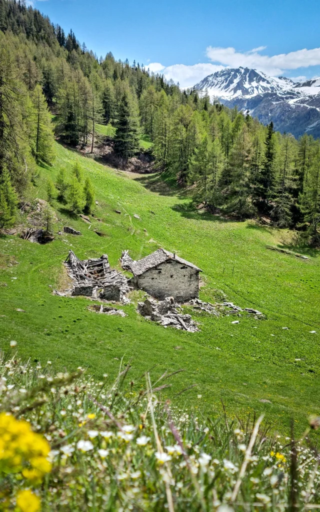 Nazonde Nant Cruet
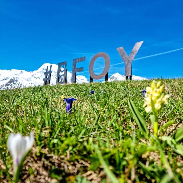
1 station4 valleys
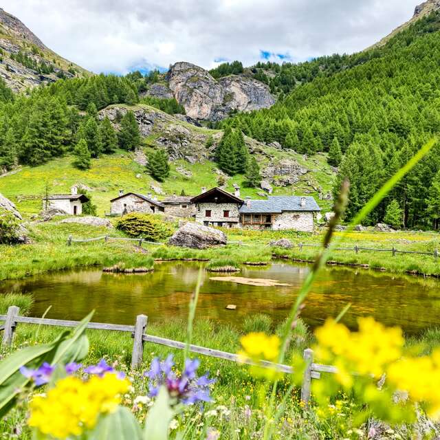
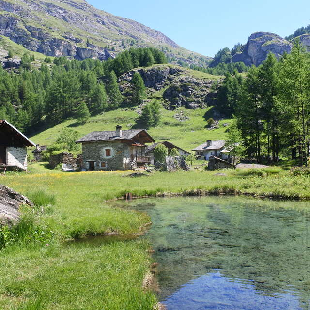
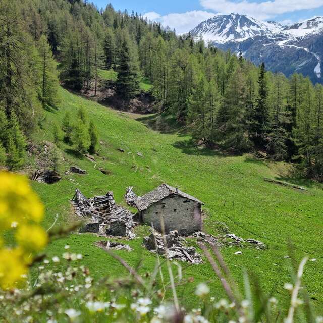
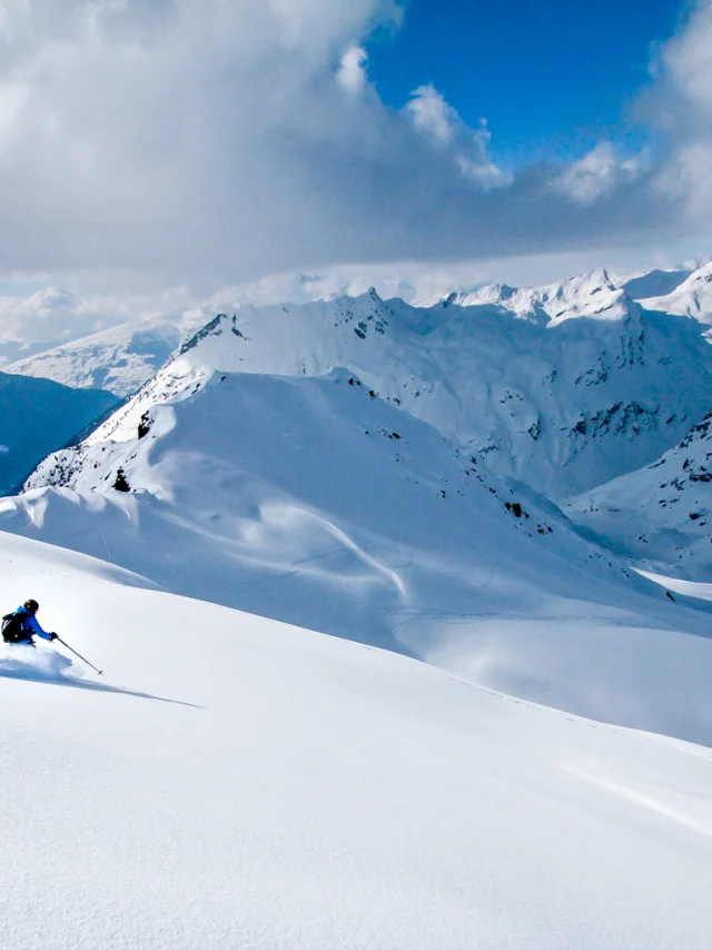
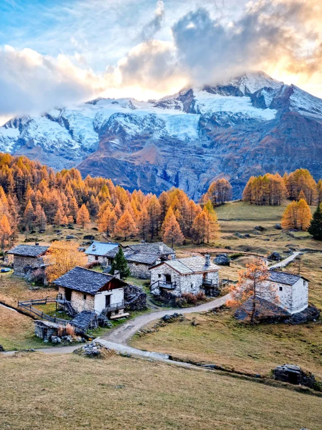
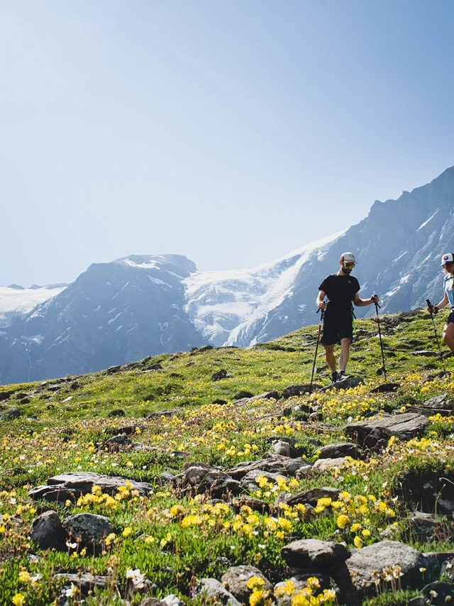
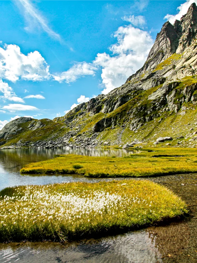
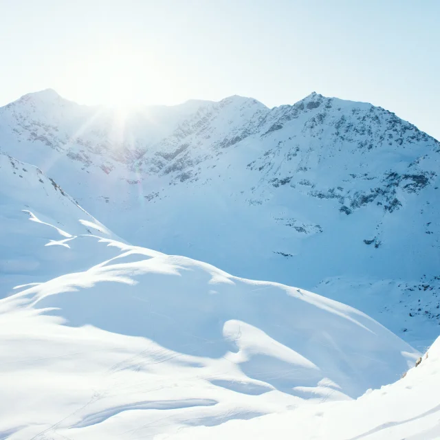
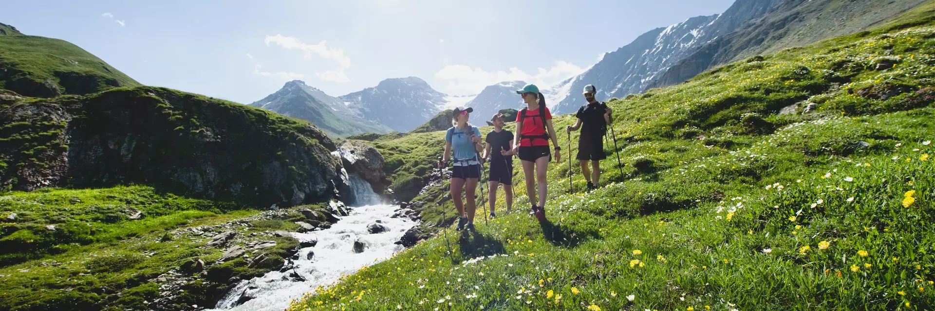
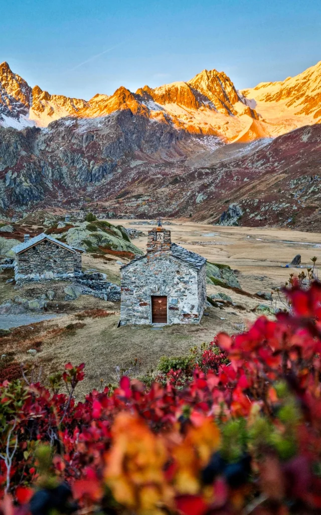
Sainte Foy boasts no fewer than 4 mountain valleys, each with its own unique scenery. For lake lovers, opt for a hike in the Petite Sassière, Mercuel or Clou valleys. If you prefer to discover the charm of small villages and balcony paths, the Vallon du Nant Cruet is ideal, as it serves a number of them not far from its hiking trails. As the seasons go by, nature offers a continuous spectacle, from the shades of green in summer to the deep blues of the alpine and glacial lakes, not forgetting the glowing golden hues of the larch forests in autumn, which are covered in a dazzling coat of white in winter.