Itinerary for snowshoeing : Mazure - Miroir
Sport, Winter sports, Snowshoe itinerary
in Sainte-Foy-Tarentaise
2.5
km
-
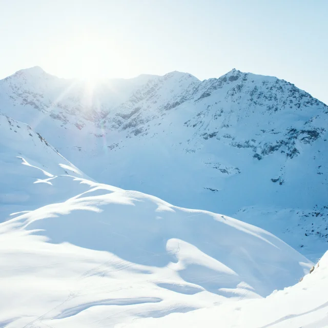
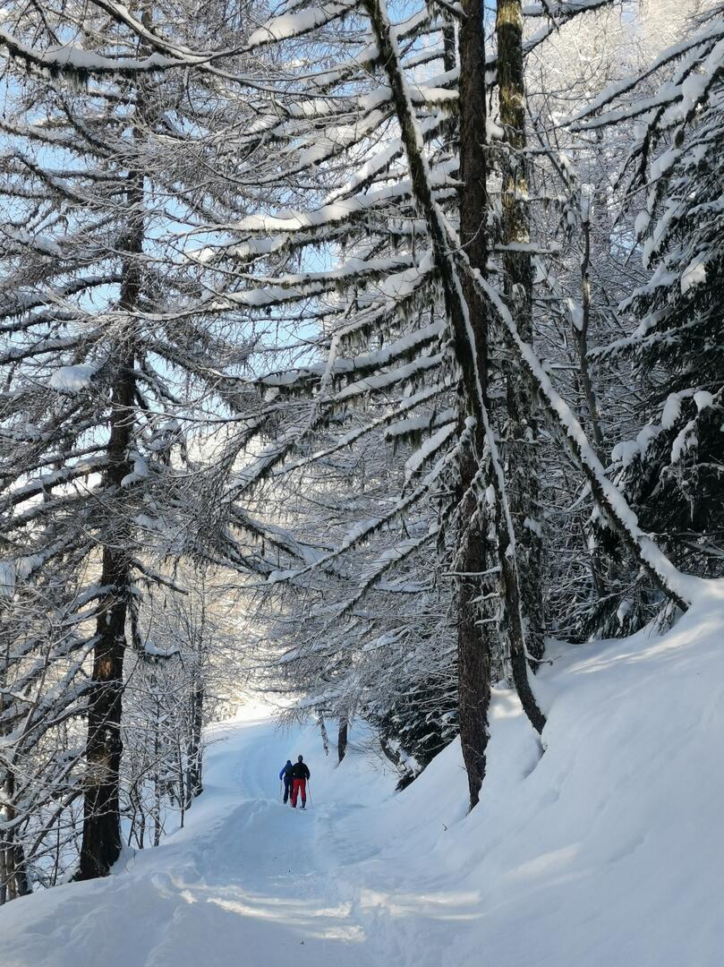
Snowshoe itinerary starting from the hamlet of La Mazure (shuttle bus stop). This marked out circuit allows you to visit the typical hamlets of La Mazure and Le Miroir while discovering a forest trail.
Map available at the Tourist Office. -
Snowshoes in hand, cross the hamlet in the direction of the Saint Claude chapel. Follow the road that goes up at the exit of the village. Put on your snowshoes as soon as the snow permits. Take the path on your left towards the Saint Claude bridge. After the bridge, take the path on the LEFT to the Miroir. Take off your snowshoes and walk through the hamlet with its interlaced streets and traditional architecture. Return along the path towards La Mazure, but be careful, it is very...
Snowshoes in hand, cross the hamlet in the direction of the Saint Claude chapel. Follow the road that goes up at the exit of the village. Put on your snowshoes as soon as the snow permits. Take the path on your left towards the Saint Claude bridge. After the bridge, take the path on the LEFT to the Miroir. Take off your snowshoes and walk through the hamlet with its interlaced streets and traditional architecture. Return along the path towards La Mazure, but be careful, it is very steep.
Be careful with the timetable, plan your return well in advance.
- Departure
- Sainte-Foy-Tarentaise
-
-
Plain text period
-
From 01/11 to 30/04.
Subject to favorable snow and weather conditions.
-
-
-
Documentation
- GPX / KML files allow you to export the trail of your hike to your GPS (or other navigation tool)
-
Services
-
-
Services
-