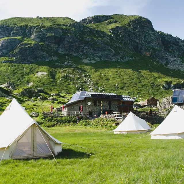
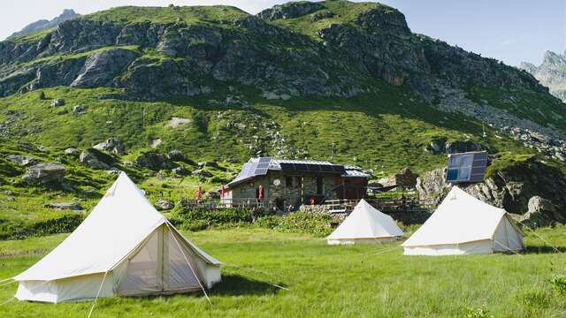
In a postcard setting, this is a perfect route for a family hike to the Ruitor refuge.
Map available in digital and paper version.
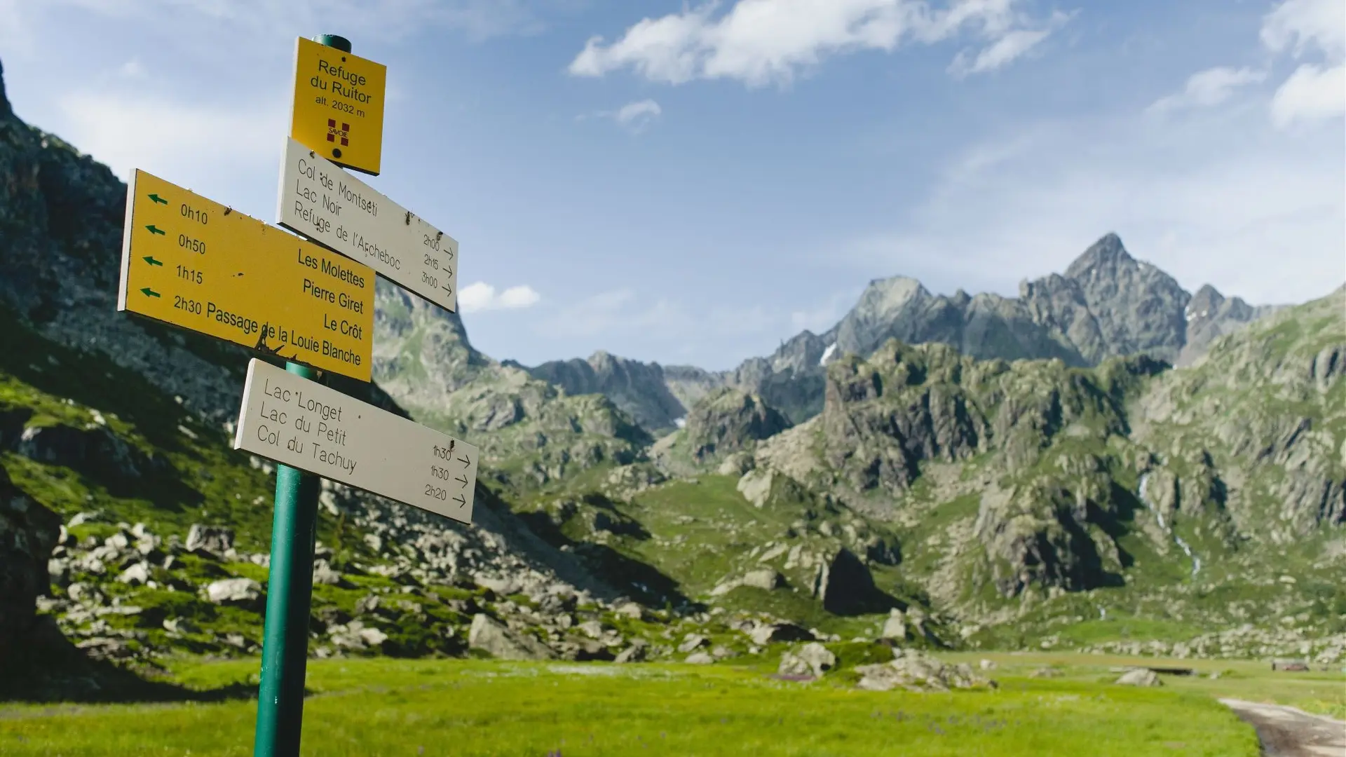
Parking : Pierre Giret.
From the parking Pierre Giret, follow the asphalt road for 100m, and after the Savonne bridge, take the path that rises to the left along the torrent. After about 15 minutes, turn right onto the Sassière path. Join the pastoral road of la Sassière and follow it to the plateau. Go forward on the plateau for several hundred meters. The Refuge is well in sight on the plateau. Same route for the return.