Park in the Pierre Giret car park (access from the hamlet of La Maure). Drive through the hamlet of La Savonne. 200m later, take a path to the right (signposted "La Motte"), cross the torrent, continue along the path, cross the forest and arrive at Les Côtes.
Continue straight ahead: the Refuge de l'Archeboc is clearly in sight after the path makes a slight turn to the left.
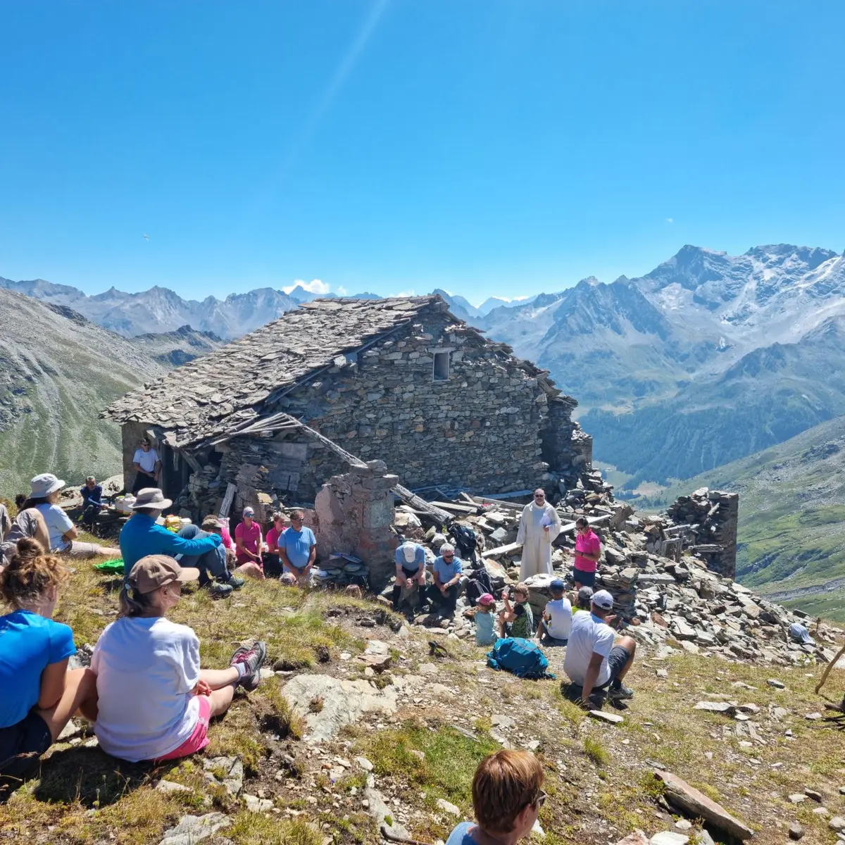
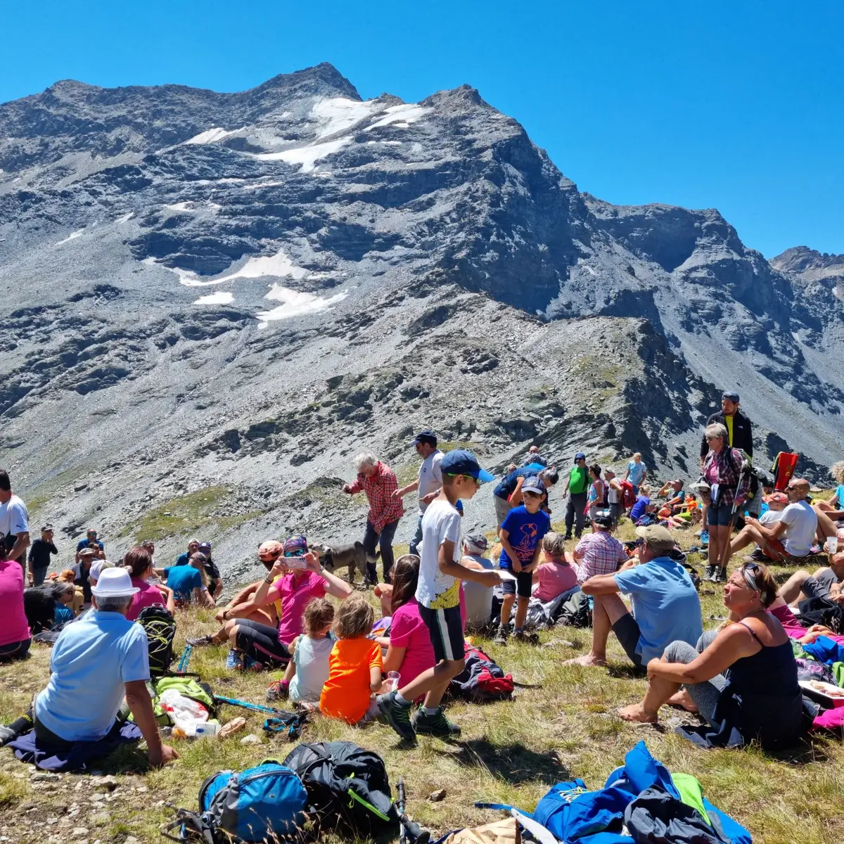
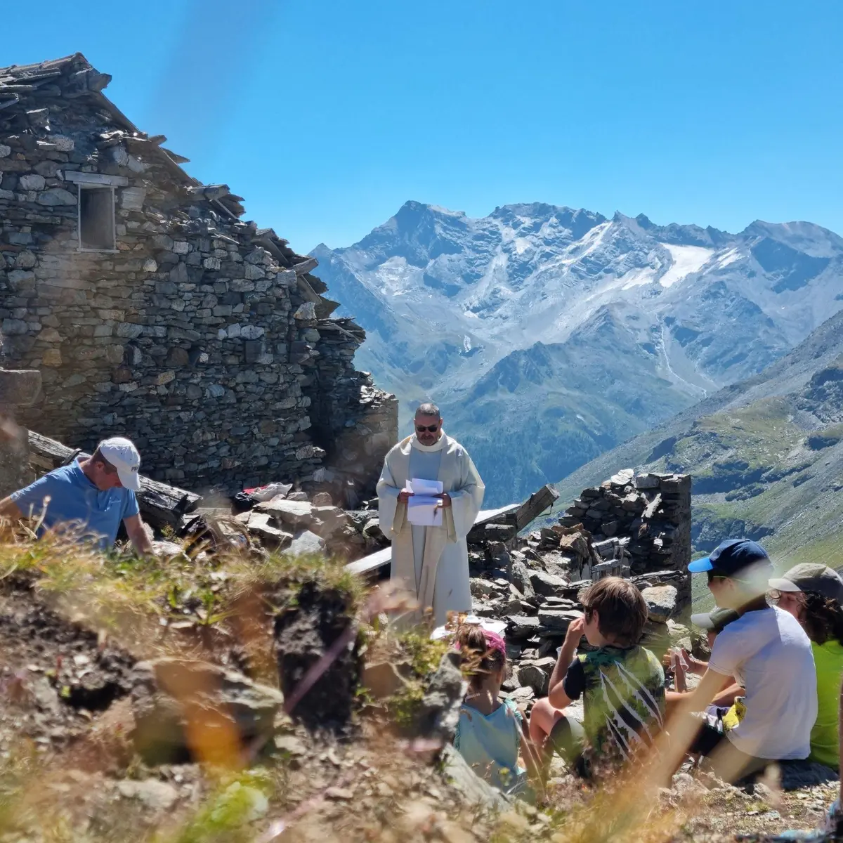
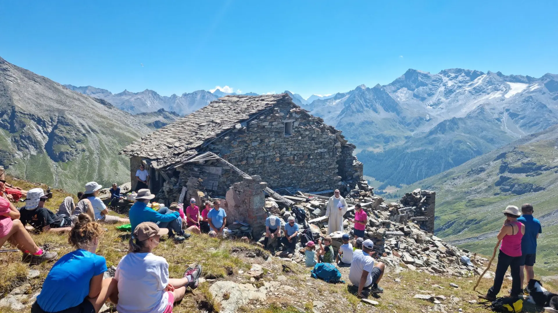
From the Refuge de l'Archeboc, the path to the pass starts out steeply on the moraine (stacked boulders, pebbles). Then it becomes gentler and winds through the mountain pastures to the pass. Same route for the return.
Read more