See photos (2)

Hiking trail : La Thuile - Sainte Foy - Villaroger

Sport, Pedestrian sports, Hiking itinerary in Sainte-Foy-Tarentaise
6.7 km
3h
Easy
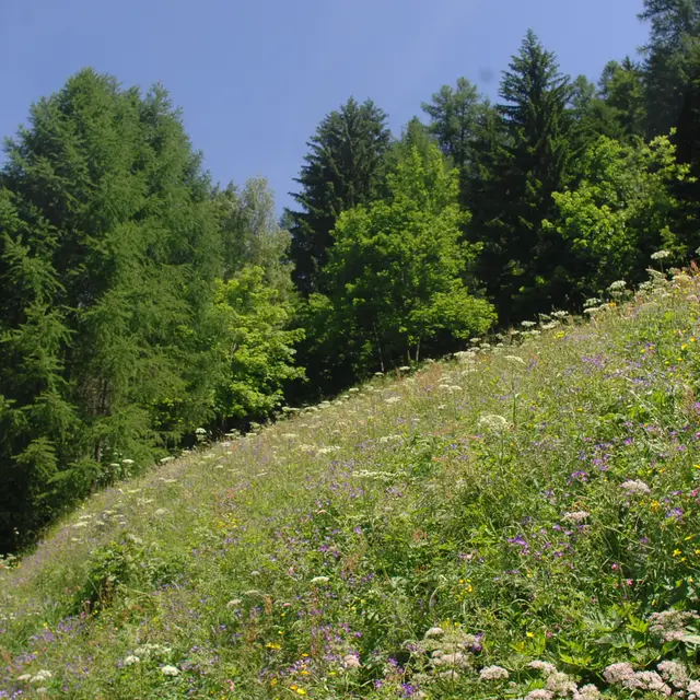
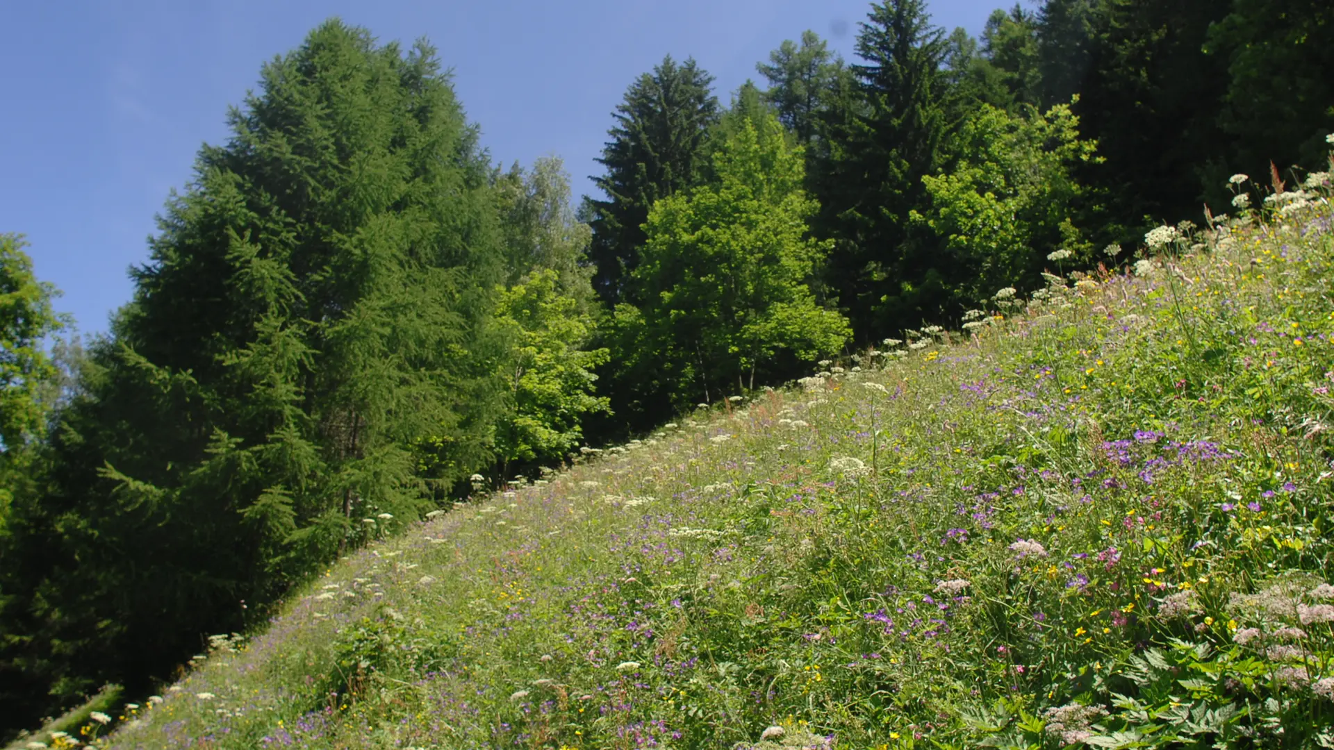
  • The Isère valley seen from below. A beautiful hike to do when the summits are in the clouds.

    Map available in digital and paper version at the Tourist Office of the resort.

  • From the cemetery car park in the Chef-Lieu, cross the bridge and then take the tarmac road upwards. Then continue straight ahead on a flat road until you reach a dirt track. Then follow the direction of La Thuile, passing the Planjo multi-purpose hall. When you reach La Thuile, take the path down to the right. Cross a bridge and continue on the path towards Villaroger. In Villaroger, go down along the departmental road to the Pont de l'Isère. Go up to the Villard. To avoid a return by the...
    From the cemetery car park in the Chef-Lieu, cross the bridge and then take the tarmac road upwards. Then continue straight ahead on a flat road until you reach a dirt track. Then follow the direction of La Thuile, passing the Planjo multi-purpose hall. When you reach La Thuile, take the path down to the right. Cross a bridge and continue on the path towards Villaroger. In Villaroger, go down along the departmental road to the Pont de l'Isère. Go up to the Villard. To avoid a return by the departmental road, you can take the Sainte Foy - Villaroger link path (N°26).
  • Departure
    Sainte-Foy-Tarentaise
  • Starting point from the Chef-Lieu of Sainte-Foy-Tarentaise, parking of the cemetery.
  • Plain text period
    From 01/04 to 30/11.

    Subject to favorable snow and weather conditions.
  • Environment
    • Mountain location
  • Documentation
    GPX / KML files allow you to export the trail of your hike to your GPS (or other navigation tool)
Services
  • Equipment
    • Car park
    • Free car park
  • Services
    • Pets welcome
Close
Page suggestions
Filter search
Page types
  • All
  • Articles
  • Agenda
  • Lists
Aucun résultat