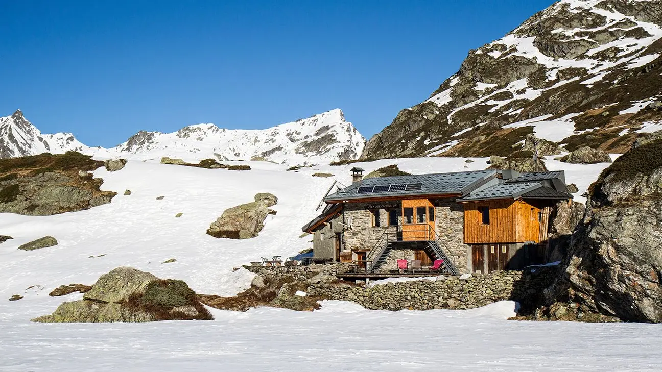
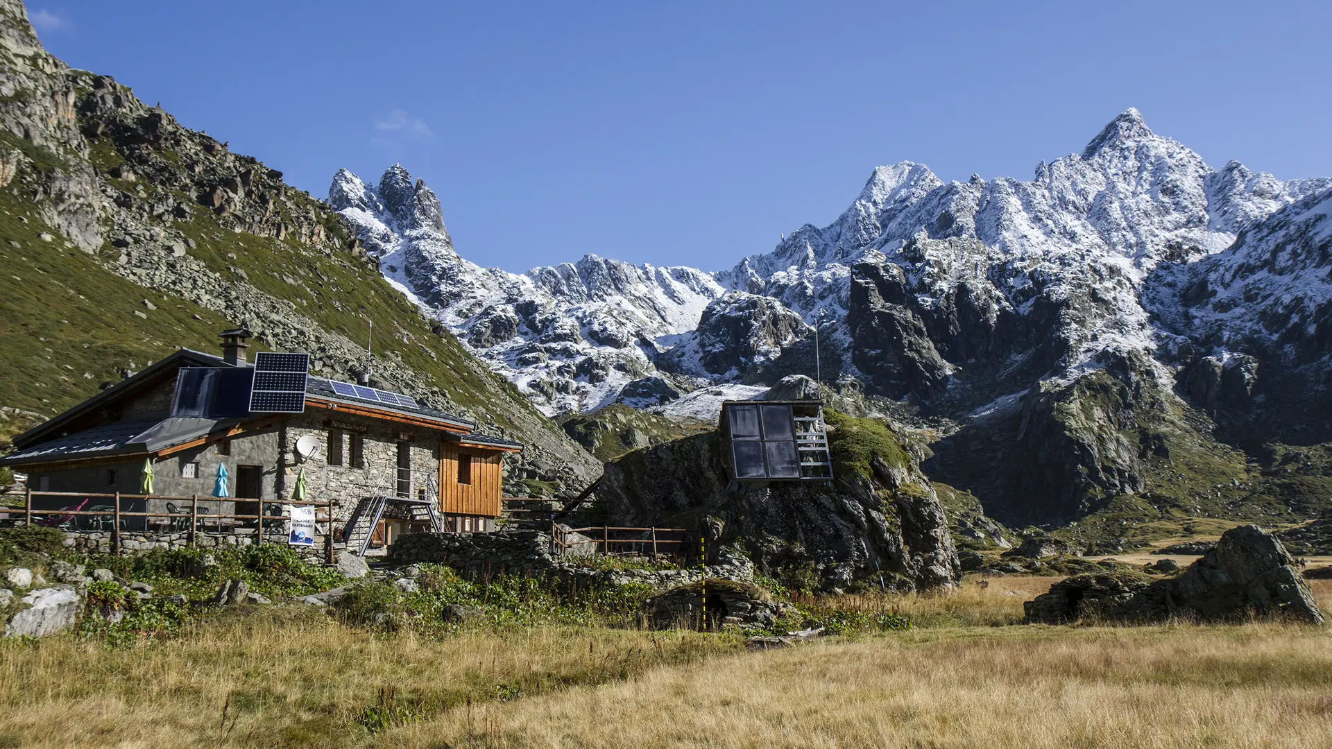
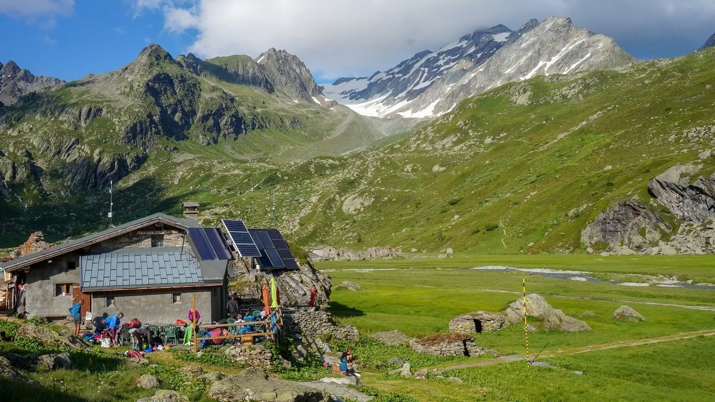
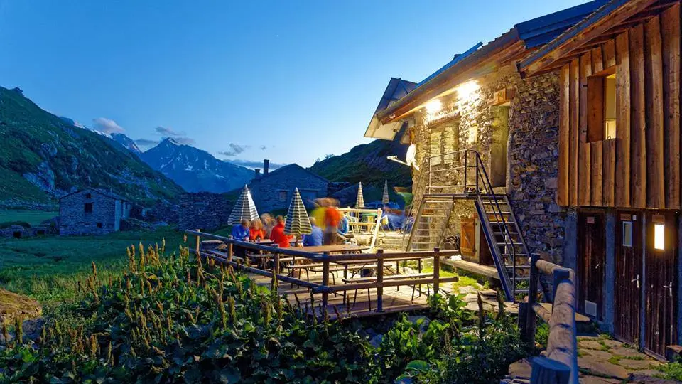
Mountain refuge of Le Ruitor

  • Refuge
Elevation : 2032m
Lieu dit "Le Frederet", 73640 Sainte-Foy-Tarentaise
Located in the valley of the Petite Sassière, the refuge is guarded in spring and summer. The rest of the year the refuge is open but there is no surveillance. On-site catering during the opening period: fresh and local produce.
In winter, this refuge is a fabulous base camp for ski touring.

It is fully equipped: gas, water on sink, utensils and dishes, lighting and solar heating.
- Waste management
- Renewable energy (photovoltaic)
- Thermal panels for hot water and heating
- Sleeps 39 in :
a 12-place mezzanine in the upper part of the room.
a dormitory sleeping 27 in bunk beds.

During summer, come and discover the Safari tents for 4 to 6 people with camp beds and duvets for a comfortable mountain...
  • Tips
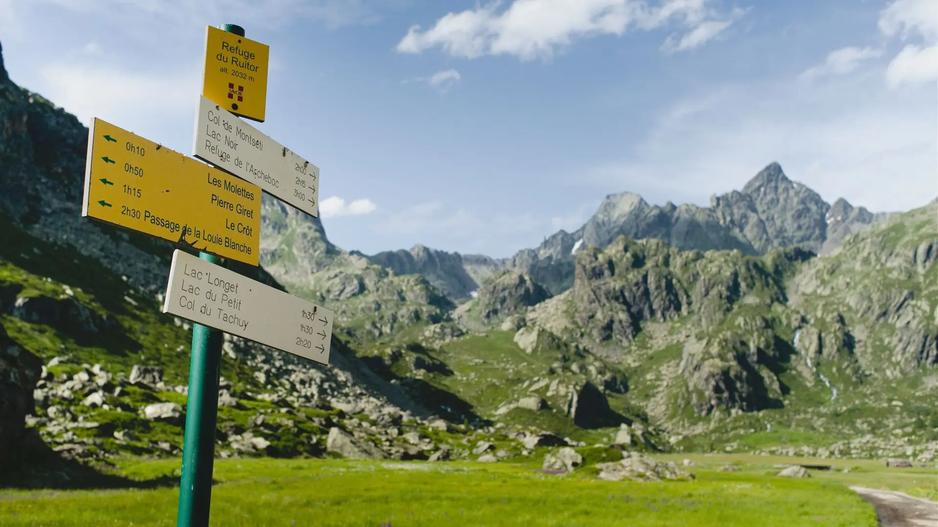
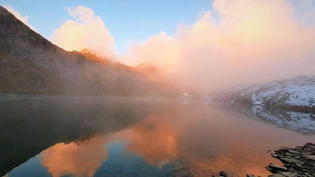
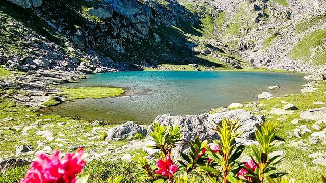
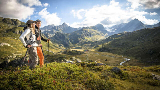
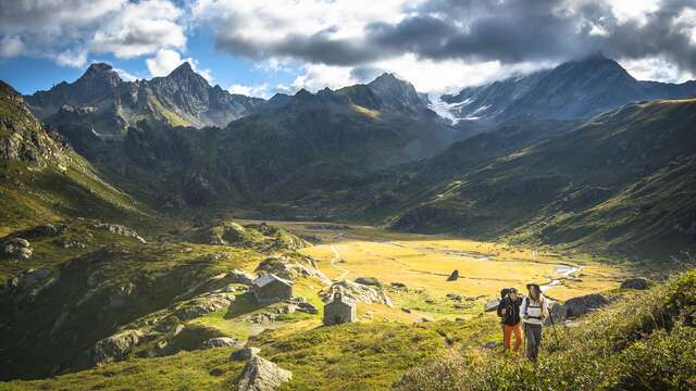
    The refuge is on the Haute Route Glaciaire circuit. 1/2 day hikes: Col du Tachuy 2800 m, difference in altitude: 800 m: 2h 30 Col de Montseiti 2500 m, difference in altitude: 500 m: 1h 30 Numerous small lakes within 1h 30 of the refuge. Day hikes: Deffeyes refuge in Italy via the Tachuy 6 to 7 hours. Ice races: Ruitor at 3500 m, ascent: 1500 m: 5h

Services

Services

Not accessible in a wheelchair
Reception staff sensitized to the reception of people with disabilities
Pedestrian sports
Hiking
Climbing sports
Climbing
Hot showers
Soal hot water
Terrace
Sustainable development
Waste management
Photovoltaic panel

Rates

Rates

Credit/debit card, cash or checks.

Payment methods

Payment methods

Payment methods

CheckCheck
CashCash

Capacity

Capacity

39 Person(s)

Openings

Openings

From 1 January 2025 until 28 February 2025 - Open everyday
Open but without caretaker.
From 1 March 2025 until 4 May 2025 - Open everyday
Open with caretaker
From 5 May 2025 until 13 June 2025 - Open everyday
Refuge open but without caretaker
From 14 June 2025 until 14 September 2025 - Open everyday
Open with caretaker
From 15 September 2025 until 28 February 2026 - Open everyday
Open but without caretaker.

Location

Location

Mountain refuge of Le Ruitor
Elevation : 2032m
Lieu dit "Le Frederet", 73640 Sainte-Foy-Tarentaise

Spoken languages

Spoken languages
  • English
  • French

Environment

Environment
  • Mountain location

Access

Access
  • Nearest Village: La Mazure
    Walking time from nearest car park: Summer 1h / winter 3 to 4h.
    1) Park the car on one of the 2 car parks in the Savonne. Take the trail (just after the bridge) or the trail. Approximately 1h, 1h30, 300m of elevation, 1750m altitude at departure, 2032m on arrival.
    2) Leave the car at La Masure, 3 to 4 hours, 900m of elevation, departure altitude 1200m, arrival altitude 2032m.
    Possible access on horseback, with a donkey, mountain bike, snowshoes, cross-country skiing and hiking and an all-terrain stroller.
    Access possible and authorized in 4x4 on derogation given by the town hall. The shelter is accessible to people with reduced mobility amounting in 4x4.
    Road not cleared in winter.
Updated on 12 March 2025 at 14:47
by Sainte Foy Tarentaise Tourisme
(Offer identifier : 81598)
Close
Page suggestions
Filter search
Page types
  • All
  • Articles
  • Agenda
  • Lists
Aucun résultat