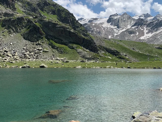
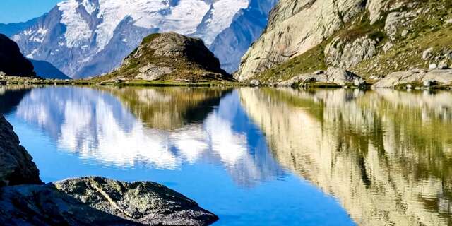
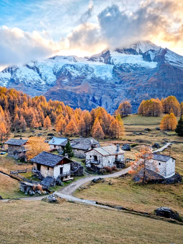
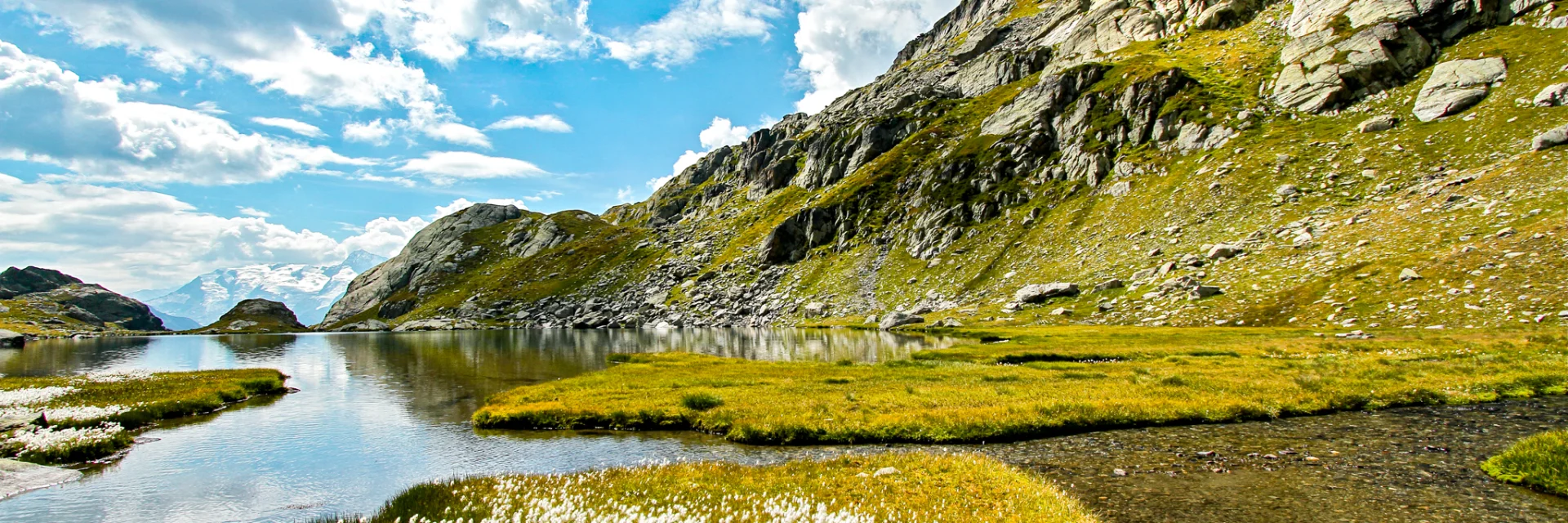
Lac-du-Petit-HD-PASCAL-ARPIN-OT-SAINTE-FOY.jpg
©ARPIN Pascal

Objective Lakes!

What would a holiday in the mountains be without its scenery of immaculate, sparkling blue lakes, the secret of which only nature knows.

In Sainte-Foy-Tarentaise, you’ll find dozens of bodies of water, all of them balconies with breathtaking views over the mountains and valleys of the Tarentaise.

For total relaxation, let yourself be guided along the hiking trails to the most beautiful lakes, accessible from the Refuge du Ruitor at an altitude of 2030m.

Lac du Petit

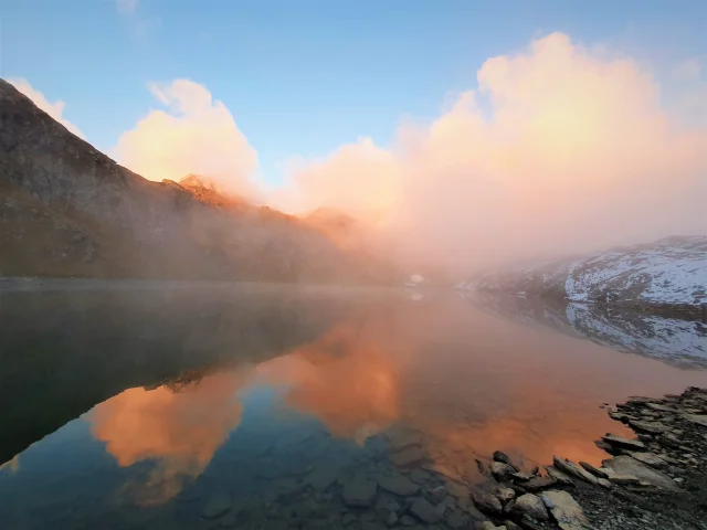
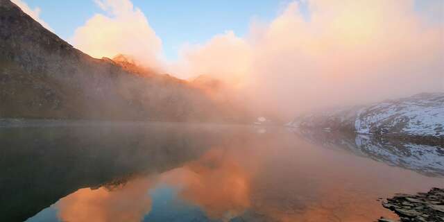
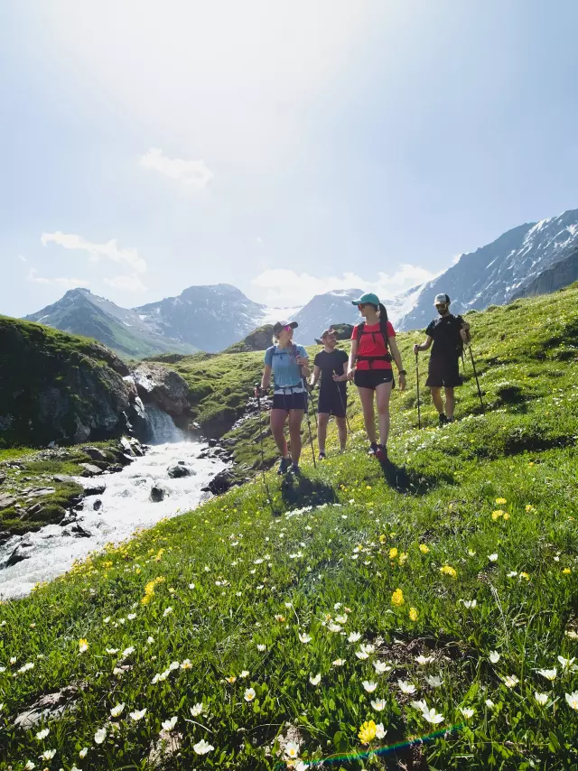
Departing from the Ruitor refuge, enjoy breakfast or a hot drink in the idyllic setting of the Petite Sassière plateau, out of time, soaking up the sound of the torrent flowing a little further behind you.

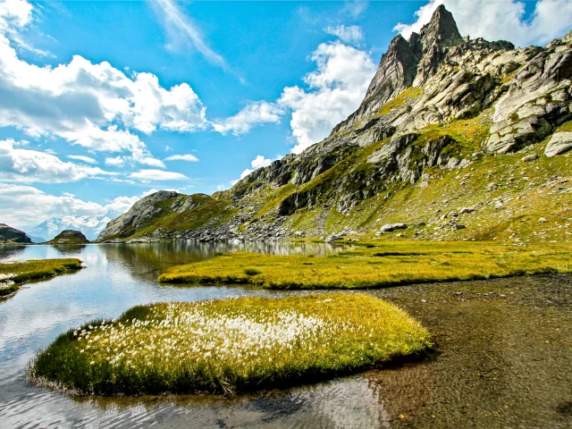
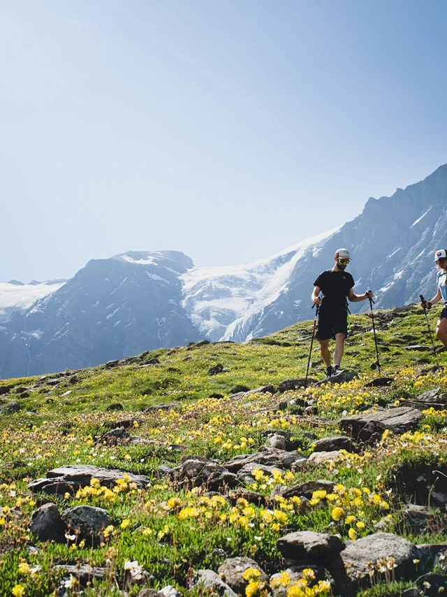
The route that awaits you isn’t very long, but it’s enough to surprise you. After a good hour’s walk up the path alongside the Saint-Claude torrent, Lac du Petit finally reveals itself in the heart of its wild and precious rock setting.

  • Practical info

    For approach: IGN TOP 25 Les Arcs-La Plagne map 3532 ET.

    From the Refuge du Ruitor :

    • Distance: 5.8km return
    • Difference in altitude: +410m D+.
    • Walking time (excluding break): 2h

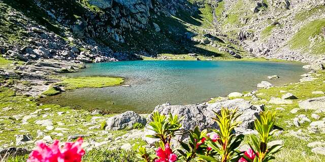
    The area around the lake is perfect for a picnic!

  • Access

    To get to the start of the hikes, from Sainte-Foy Chef-Lieu, head towards the hamlet of La Masure (direction Montvalezan/La Rosière). When you reach La Masure, turn right onto the small road that leads to Le Crôt, and then to the Pierre Giret parking lot.

  • Our advice

    Even in summer, be vigilant and plan an early start. Make sure you always leave with a minimum of provisions and warm clothing, as the weather can deteriorate from one moment to the next.

    To preserve the sites and ecosystems you cross, always collect your garbage.

    Equip yourself with good shoes, water and a snack.

    Keep your dog on a leash.

Lac du Retour

In search of other viewpoints, the Lac du Retour hike offers you the opportunity to discover an unusual valley by taking a balcony path, perfect for combining hiking and contemplation, while making a moderate effort to warm up.

Then, crossing the first torrents, you begin the final ascent towards the Col du Retour, where a commanding view of the Lac du Retour and the Tarentaise valley awaits you. Take time out to admire this peaceful & harmonious spectacle for a break or a picnic before continuing on the same route.

  • Practical info

    For approach: IGN TOP 25 Les Arcs-La Plagne map 3532 ET.

    From the Refuge du Ruitor :

    Distance: 9km return
    Difference in altitude: +490m D+.
    Walking time (excluding break): 4h

  • Practical info

    For approach: IGN TOP 25 Les Arcs-La Plagne map 3532 ET.

    From the Refuge du Ruitor :

    Distance: 9km return
    Difference in altitude: +490m D+.
    Walking time (excluding break): 4h

  • Access

    To get to the start of the hikes, from Sainte-Foy Chef-Lieu, head towards the hamlet of La Masure (direction Montvalezan/La Rosière). When you reach La Masure, turn right onto the small road that leads to Le Crôt, and then to the Pierre Giret parking lot.

Black Lake of Montseti

Unquestionably one of the most beautiful loops in the Haute Tarentaise.

Doing the Lac Noir de Montséti circuit gives you the chance to take your time, whether at the Ruitor hut before setting off, or further along the route at the Archeboc hut.

A gentle start takes you across the magnificent Sassière plateau towards the Col de Montséti. At the end of the climb, Lac Noir is just a few steps away.

From here, you switch to the equally sumptuous neighbouring Vallon de Mercuel. After a fairly straightforward descent, you arrive at the Refuge de l’Archeboc. This is the perfect place to take a refreshing or gourmet break (June 15 to September 15).

Then it’s time to set off again for the Refuge du Ruitor, heading back down the Vallon de Mercuel with the Arète de Monséti on your right. Before making the final ascent to the Vallon de la Sassière, take the opportunity to have a look at the imposing & unique Mont Pourri and its glaciers.

  • Practical info

    For approach: IGN TOP 25 Les Arcs-La Plagne map 3532 ET.

    From the Pierre Giret parking lot:

    • Distance: 13.2km return
    • Difference in altitude: +803 D+ (+)
    • Walking time (excluding break): 4h
  • Access

    To get to the start of the hikes, from Sainte-Foy Chef-Lieu, head towards the hamlet of La Masure (direction Montvalezan/La Rosière). When you reach La Masure, turn right onto the small road that leads to Le Crôt, and then to the Pierre Giret parking lot.